2427
Technical Committee 211 /
Comité technique 211
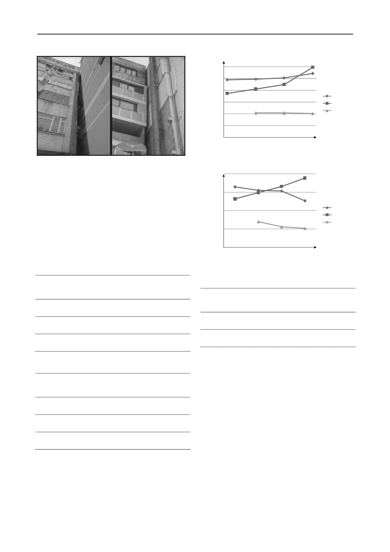
Figure 3. Photos showing on site displacements
3.2.2
Causes that led to differentiated settlements
The main cause that led to settlements on the studied case was
determined by the increased humidity in the foundation soil.
This happened as a result of a deficient vertical systematization:
no sidewalks, there were no gradients on site to discharge the
water and also there were not built ditches and surface drainage
systems. The lack of systematization works led to rainwater
infiltrations in the filling layer above the soil cushion used as an
improving method for the loss soil on the site. Water bags were
formed in the filling layer which supplied the permanent
moisture on the layer above the cushion. The humidity of the
cushion became 3.14% higher then the optimum compaction
humidity (19.40%). Also the filling layer recorded higher values
for humidity: 25.07% ÷ 27.52%.
Table 1. Humidity evolution on the site – filling layer
Section
Humidity
1998
[%]
Average
humidity
1998
[%]
Humidity
2010
[%]
Average
humidity
2010
[%]
Increase
of
humidity
[%]
I
16.98 ÷
29.16
24.78
19.57 ÷
30.07
25.83
+4.20
II
17.18 ÷
24.15
22.45
22.99 ÷
32.85
26.90
+19.80
III
---
---
18.31 ÷
33.04
24.40
---
Table 2. Humidity evolution on the site – soil cushion
Section
Humidity
1998
[%]
Average
humidity
1998
[%]
Humidity
2010
[%]
Average
humidity
2010
[%]
Increase
of
humidity
[%]
I
21.15 ÷
24.15
21.29
16.37 ÷
23.81
20.53
-3.70
II
17.11 ÷
23.69
20.63
18.40 ÷
24.45
21.77
+5.50
III
---
---
17.61 ÷
20.64
19.03
---
15
17
19
21
23
25
27
1998
2002
2006
2010
Humidity [%]
Section I
Section II
Section III
Figure 4. Humidity variation on the site, in the filling layer, for the three
sections of the building
18
19
20
21
22
1998
2002
2006
2010
Humidity [%]
Section I
Section II
Section III
Figure 4. Humidity variation on the site, in the earth pillow, for the three
sections of the building
Table 3. Humidity evolution on the site – surrounding area
Section
Humidity
1998
[%]
Average
humidity
1998
[%]
Humidity
2010
[%]
Average
humidity
2010
[%]
Increase
of
humidity
[%]
I
20.70 ÷
33.42
26.85
18.90 ÷
29.36
22.30
-20.0
II
20.70 ÷
33.42
26.85
18.90 ÷
29.36
22.30
-20.0
Topographic measurements were made, on the site, for
verifying settlements that appeared due to moistening of the
foundation soil. By analyzing the results obtained after four
cycles of measurements, the following conclusions can be
drawn:
for section I the measured values of settlements are
insignificant. This happed because the values fall within
the margin of error of the measurements and also
because the variations determined at the markers
considered stationary must be taken into consideration;
for section II were found higher values of the
settlements at the joint between section II and III. This
occurs where the surface water penetrated the ground
and produced a pronounced moistening of the
foundation soil;
for section III were also found higher values of the
settlements at the joint between section II and III. This
occurs where the surface water penetrated the ground
and produced a pronounced moistening of the
foundation soil.
Established settlements have small values and pose no
danger to the behaviour of the building in time. Relative
settlements have also small values, 3.65·10
5
millimetres, much
lower than the admissible relative settlement, which is,
according to Romanian Standards, 0.001 millimetres.


